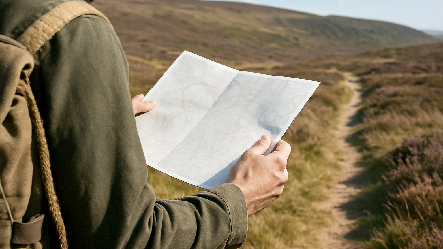
Contours are the part of a map that most rewards study and the part most people skim past. They are the only element describing the third dimension, and someone fluent in them can picture a valley they have never seen.
What is a contour line?
A line joining every point at the same height above sea level. Imagine the sea rising in fixed increments and marking the shoreline at each stage, and you have a contour map. Because they follow constant height, they never cross one another, and they always close on themselves eventually, though often beyond the edge of the sheet.
What does the spacing tell you?
Steepness, directly. Lines packed tightly together mean a large height change over a short horizontal distance, which is steep ground. Widely spaced lines mean gentle terrain. Lines merging into a solid mass indicate a cliff or crag, which is usually also marked with a rock symbol. This single relationship is the most immediately useful thing contours offer, because it lets you judge effort and safety before committing to a line.
- Close together, steep ground
- Far apart, gentle ground
- Concentric rings with a spot height, a summit
- V pointing uphill, a re-entrant or gully carrying water
- V or U pointing downhill, a spur or ridge
- Hourglass of lines between two summits, a col or saddle
How do you tell a spur from a re-entrant?
By which way the V points relative to the high ground, and this is the distinction that most often trips people up. A re-entrant is a fold running into the hillside, typically carrying a stream, and its contours form a V pointing uphill toward the summit. A spur is a ridge of land projecting outward, and its contours form a rounded U or V pointing downhill away from the high ground. Streams run down re-entrants, so a blue line on the map confirms which is which instantly.
What is the contour interval and why check it?
It is the height difference between adjacent lines, stated in the map legend, and it varies. Explorer maps typically use five metres in lowland and ten in mountainous areas, while Landranger uses ten throughout. Every fifth line is drawn thicker and labelled, which is the index contour. Assuming the wrong interval leads directly to underestimating ascent, so it is worth a glance at the legend on an unfamiliar sheet.
How do you use contours to navigate?
By matching shape rather than reading numbers. Walking along a slope, you can tell whether the ground is rising to your left or falling to your right and check that against the map. Crossing a broad ridge, the point where the ground stops rising is a fix. In poor visibility this technique, called contour interpretation, is often more reliable than looking for landmarks, because the shape of the ground is present even when you can see only twenty metres of it.
What can contours hide?
Anything smaller than the interval. With a five metre interval, a four metre crag, a deep peat hag or a boulder field simply does not appear, and none of those are trivial to cross. Broad flat summits show very few lines and are notoriously difficult to navigate on, because there is no shape to read. Treat sparse contours as a warning that the ground gives you little information rather than as an assurance that it is easy.
How do you learn to read them fluently?
Predict, then look. Stand somewhere with a view, identify the shape of the ground on the map, and check it against what you can see. Then reverse it: pick a distinctive feature in the landscape and find it in the contours. Twenty minutes of this on a clear day teaches more than any amount of reading, because it builds the association between pattern and reality directly.
Once contours read as shape rather than as decoration, the map stops being a diagram and starts being a description of the ground.