A grid reference is a way of describing any point in Britain with a short string of letters and numbers. It is unambiguous, it is what mountain rescue teams work in, and being able to produce one quickly is among the most practically valuable map skills there is.
How is the National Grid arranged?
Britain is divided into one hundred kilometre squares, each identified by two letters such as SD, NY or SX. Within each of those, the blue grid lines on your map divide the area into one kilometre squares. Numbers running along the bottom edge are eastings and numbers up the side are northings, and together they identify any square uniquely.
Which numbers come first?
Eastings before northings, always. The traditional mnemonic is along the corridor and up the stairs: read across the bottom first, then up the side. Getting this the wrong way round produces a reference that is valid but describes somewhere entirely different, which is a genuinely dangerous error when reporting a casualty position. If a reference sends rescuers to open sea or the wrong county, reversal is usually the reason.
- Two letters identify the hundred kilometre square
- Eastings read along the bottom, northings up the side
- Four figures locate a one kilometre square
- Six figures locate to one hundred metres
- Eight figures locate to ten metres
- Always state the two letters when giving a reference
How do you get from four figures to six?
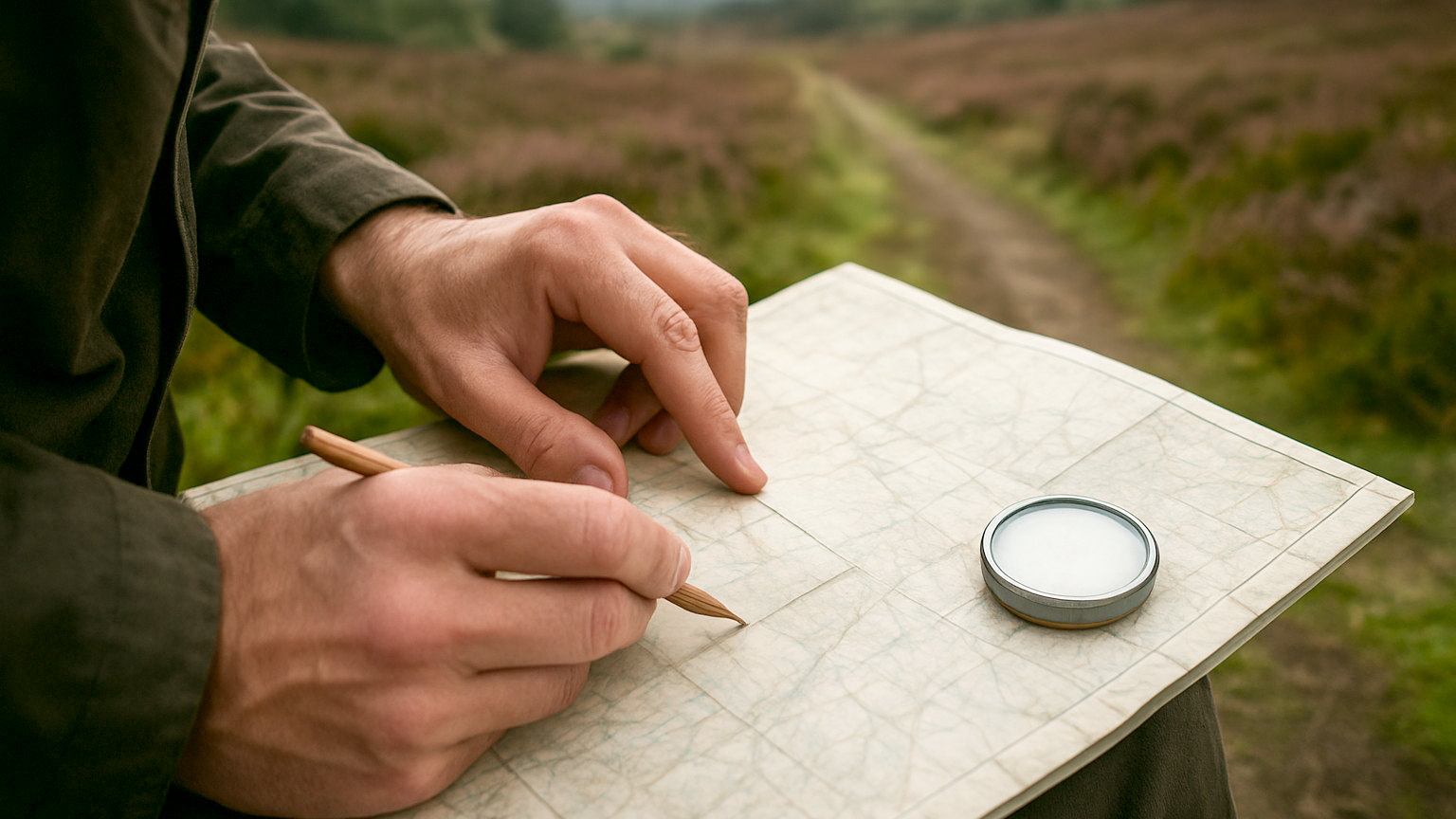
By dividing each grid square into tenths. Take the easting of the line to the left of your position, then estimate how many tenths across the square you are, and append that digit. Do the same for the northing line below you. So a position in square 27 45, four tenths across and seven tenths up, becomes 274 457. The romer scale printed on a compass baseplate does this measurement for you and is considerably more accurate than estimating by eye.
Why do the letters matter?
Because the numbers repeat every hundred kilometres. A six figure reference without letters describes dozens of locations across Britain, and a rescue team receiving one has to guess from context. Including the two letter prefix removes all ambiguity. The letters for your area are printed in the map legend and in the corners of the sheet, and they are the part people most often forget under pressure.
How do you give one to the emergency services?
Slowly, clearly, and using the phonetic alphabet for the letters if you can. State the letters, then the numbers in groups. Say whether it is a six or eight figure reference. Then confirm what you can see around you, since a description of terrain lets the team sanity check the reference against the map. Expect them to read it back, and check carefully when they do.
What are the alternatives?
The OS Locate app reads your position and displays a grid reference directly, which is faster and less error prone than working it out under stress, and it functions without a mobile signal because it uses GPS. What3words is also used by UK emergency services and gives a three word address for a three metre square. Both are worth installing before you need them. Neither removes the value of being able to do it on paper when a phone has failed.
How accurate do you need to be?
Six figures, to a hundred metres, is sufficient for most purposes and is what rescue teams normally expect. Eight figures is useful for a stationary casualty in featureless terrain. Precision beyond that is rarely meaningful given the accuracy of your own position estimate, and spending time perfecting a reference while someone is deteriorating is the wrong priority.
What is a romer and how do you use it?
A romer is a small right angled scale printed on the corner of a compass baseplate, marked in tenths of a grid square for a particular map scale. Place the corner on your position with the scales running along the grid lines, and read the tenths directly off each edge. It removes the estimation from a six figure reference and makes an eight figure one practical. Check you are using the scale matching your map, since the twenty five and fifty thousand romers sit side by side and are easily confused.
Learn the corridor and stairs order, use the romer on your compass, and always include the letters.