Everyone gets lost eventually, and the outcome depends almost entirely on what happens in the first ten minutes. The instinct is to keep walking and hope something recognisable appears. That instinct converts a small navigational error into a large one.
What is the first thing to do?
Stop. Not slow down, stop completely, and sit down if conditions permit. Walking while confused adds distance and uncertainty to a problem that is already about uncertainty, and every minute of continued movement widens the area you must search mentally. Stopping also lets you eat, drink and put a layer on, all of which improve the thinking you are about to do.
What should you establish next?
The last point at which you were certain of your position, and how long ago that was. From those two facts, and a rough walking speed, you can draw a circle on the map showing where you could possibly be. It is often smaller than it feels. Someone who was sure of their position forty minutes ago can be at most about three kilometres away, and usually far less on rough ground.
- Stop moving completely and sit down
- Identify the last certain position and the time since
- Estimate the maximum distance travelled since then
- Look for slope direction, water flow and shape of the ground
- Compare those against the map within your circle of possibility
- Retrace to the last known point if nothing fits
How do you fix a position without landmarks?
Read the shape of the ground, which is available even in cloud. Which way does the slope fall, and how steeply? Are you on a spur or in a re-entrant? Is there water, and which way does it flow? Is there a wall, a fence or a track, and what direction does it run? Each answer eliminates parts of the map. Three or four such observations will often narrow the possibilities to a single location within your circle.
What if you have a compass and can see something?
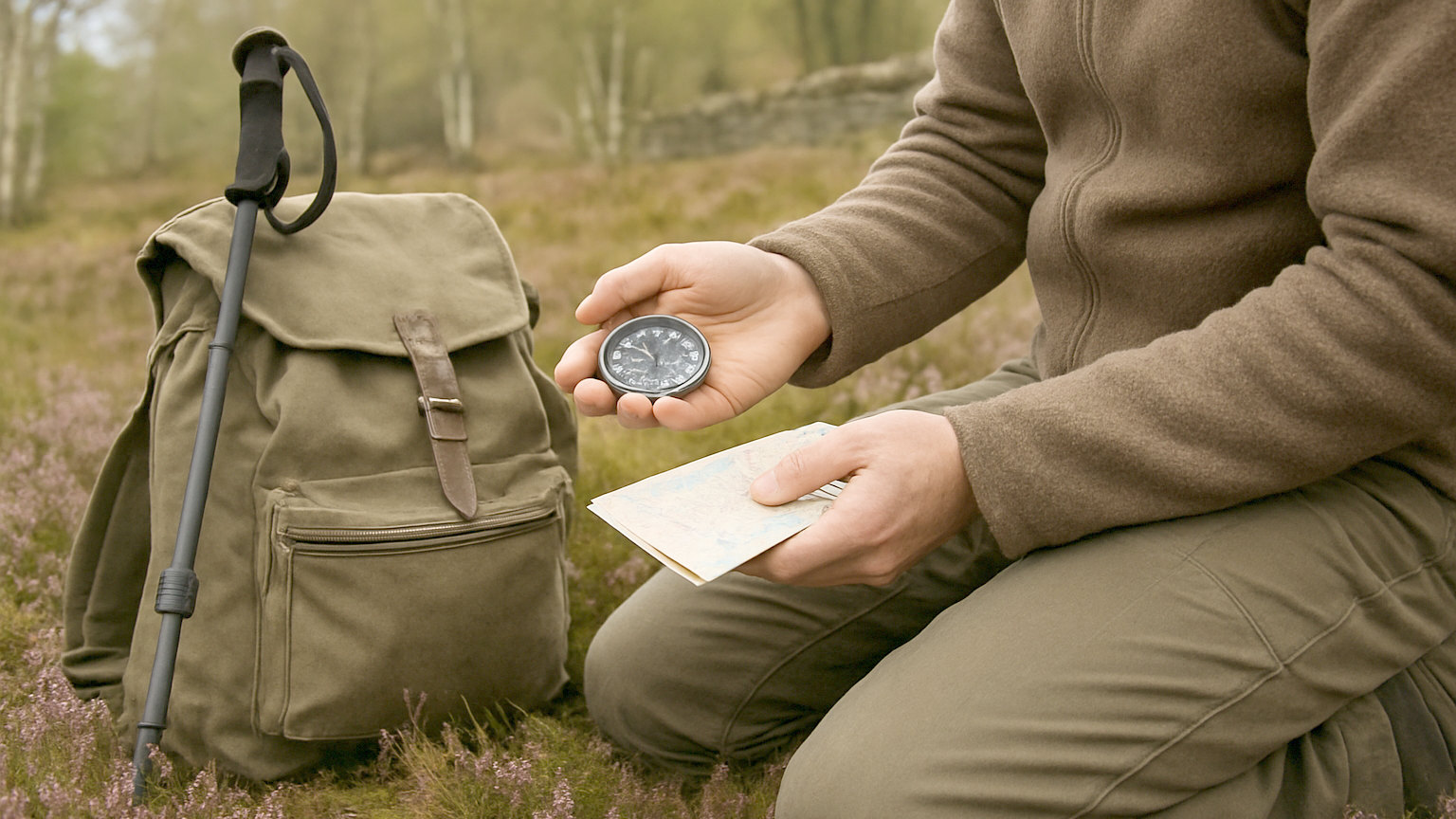
Take a back bearing. Point the compass at an identifiable feature, take the bearing, then transfer it to the map by aligning the compass edge through that feature and drawing a line back. You are somewhere on that line. Repeat with a second feature at a substantially different angle, and where the lines cross is your position. This technique, called resection, is precise when the features are correctly identified and misleading when they are not.
When should you retrace your steps?
When nothing on the ground matches the map within your circle of possibility. Going back to a known point feels like defeat and is usually the fastest route to being found again. It is far easier if you have been keeping track of features passed, which is an argument for looking behind you occasionally during a walk, because ground looks entirely different from the opposite direction.
What if you cannot relocate at all?
Aim for a large linear feature. In most of Britain, walking downhill will reach a stream, following the stream will reach a valley, and the valley will reach a road or habitation. This may be slow and may be the wrong valley, but it is a reliable way out for anyone fit and equipped. Consider it carefully in mountainous terrain, where descending into an unknown valley can lead into crags or an impassable gorge.
When should you call for help?
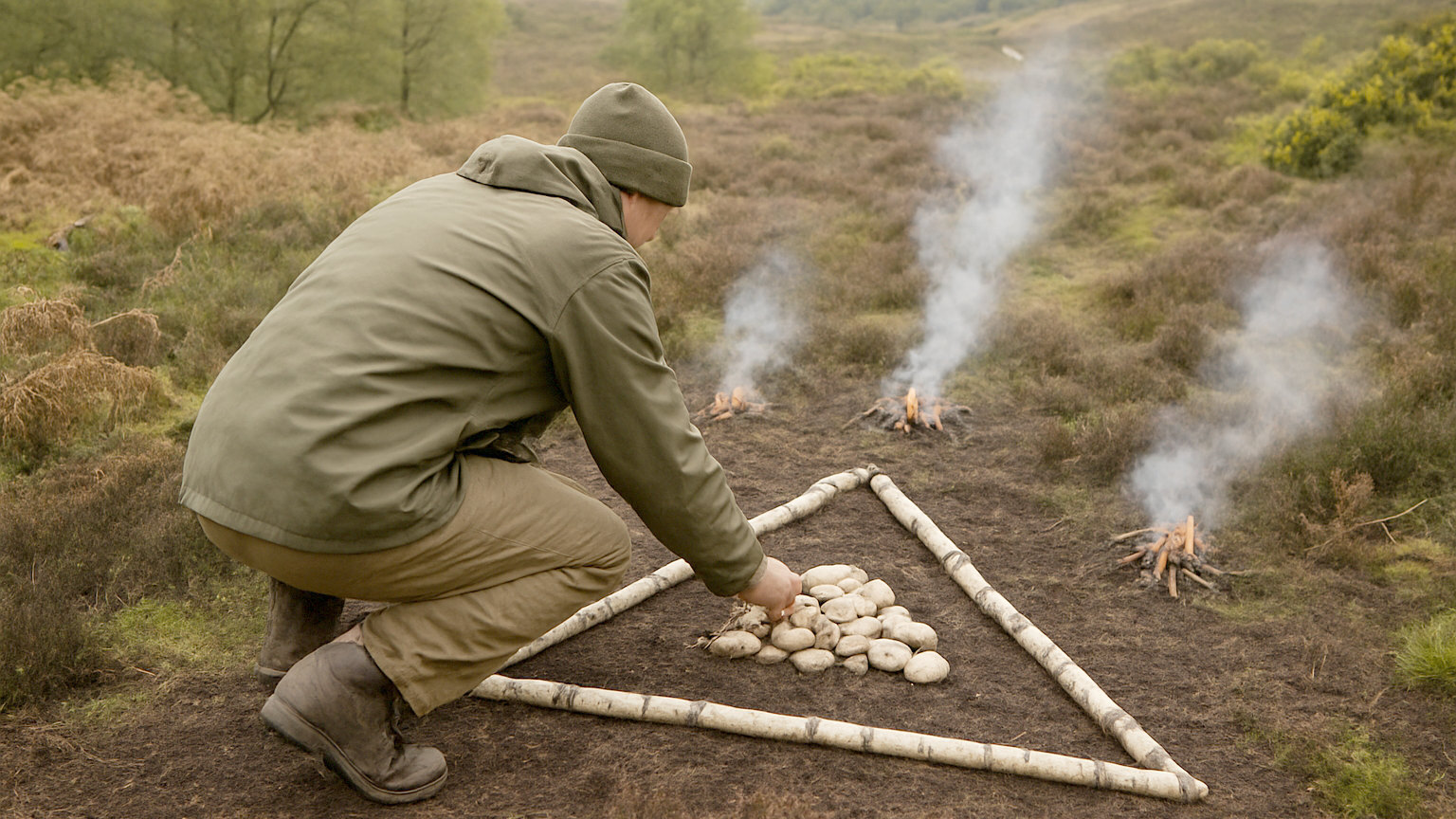
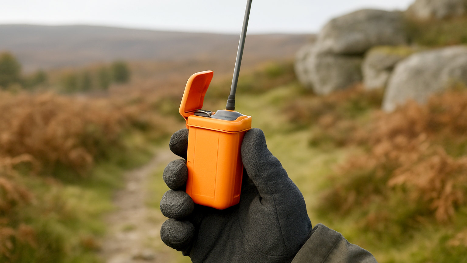
Before it becomes urgent rather than after. Call 999, ask for police and then mountain rescue, and be ready with a grid reference or a what3words location if you have one. Injury, darkness, deteriorating weather, a group member in trouble, or simply being genuinely stuck are all legitimate reasons. Teams would far rather attend early to a walkable situation than late to a hypothermic one.
Stop, think, establish the circle, read the ground, and retrace if needed. Pressing on and hoping is the only approach that reliably makes things worse.