An Ordnance Survey map contains a remarkable amount of information for anyone who knows how to extract it. Learning to read one properly means being able to picture ground you have never visited, which is what makes route planning possible.
Which scale should you use?
The two common series suit different purposes. Explorer maps at one to twenty five thousand show four centimetres to the kilometre, include field boundaries, and are the standard choice for walking because the detail lets you identify small features. Landranger maps at one to fifty thousand show two centimetres to the kilometre, cover four times the area per sheet, and suit longer journeys, cycling and general planning where field level detail is unnecessary.
What do the grid lines represent?
The blue lines form the National Grid, and each square is one kilometre across regardless of the map scale. This makes them enormously useful for estimating distance at a glance, since the diagonal of a grid square is roughly one and a half kilometres. They also run to grid north, which is what compass bearings are measured against, and they provide the framework for giving a grid reference.
- Orange Explorer maps, one to twenty five thousand, best for walking
- Pink Landranger maps, one to fifty thousand, best for wider planning
- Blue grid squares, always one kilometre across
- Brown contour lines, showing shape and steepness
- Green shading and symbols, showing access land and rights of way
How do you interpret contour lines?
They are lines joining points of equal height, and their spacing is the key. Lines close together mean steep ground, lines far apart mean gentle ground, and evenly spaced lines mean a uniform slope. On Explorer maps the interval is usually five metres, and on Landranger it is ten, with the figure stated in the legend. Learning to see a spur, a re-entrant, a col and a summit in the pattern of the lines is the skill that separates map reading from map looking.
What do the rights of way colours mean?
On Explorer maps, green dashes indicate public footpaths, green dashes with longer strokes indicate bridleways, and green dots indicate byways. Pale green shading marks open access land under the Countryside and Rights of Way Act, where you may walk away from paths. On Landranger maps the same information appears in magenta rather than green, which catches people out when switching between the two series.
How do you set the map to the ground?
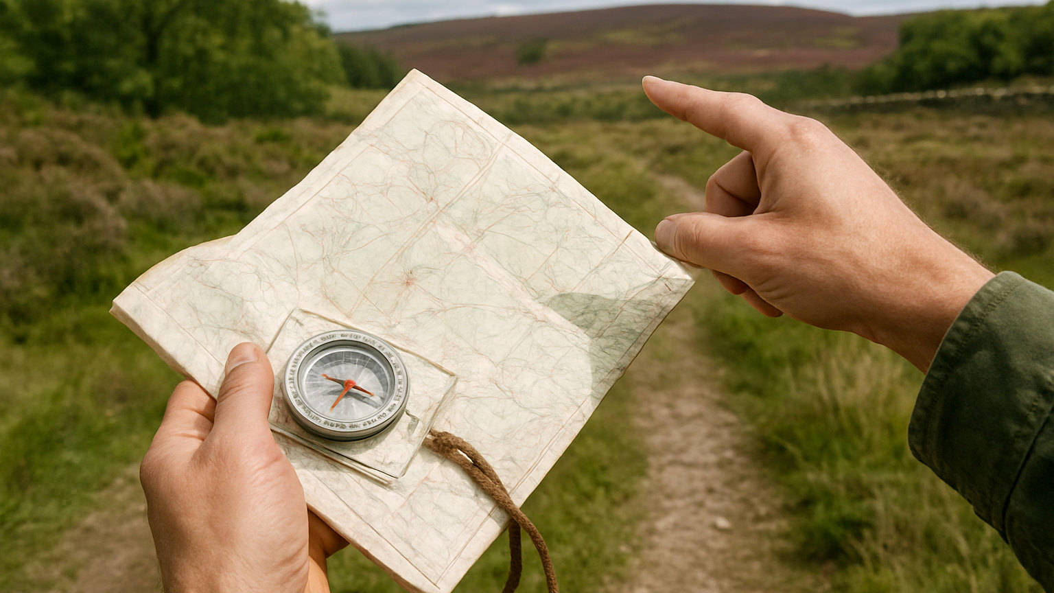
By turning the map, not yourself. Rotate it until the features around you line up with their positions on the paper, or place a compass on it and turn the map until the north lines align with the needle. A map held the wrong way round is the cause of a surprising proportion of navigation errors, because every left turn on the ground appears as a right turn on the paper. It feels awkward reading upside down text and it is worth the awkwardness.
What can the map not tell you?
Ground conditions, which is a critical limitation. A path marked clearly on paper may be waterlogged, eroded, overgrown or blocked. A stream shown as a thin blue line may be impassable after rain. Snow cover changes everything. Maps are also revised on a cycle of years, so new forestry, felled woodland, new fencing and changed field boundaries are all common surprises. Treat the map as an accurate record of terrain and an approximate record of everything humans have built on it.
How do you practise usefully?
By predicting rather than confirming. Before rounding a corner or cresting a rise, look at the map and say aloud what you expect to see. Then check. Getting it right builds confidence, and getting it wrong reveals precisely which part of your interpretation is faulty, which is far more instructive than simply following a route and finding it works out.
Read the legend properly once, learn contours by prediction, and keep the map set to the ground, and the rest follows with practice.