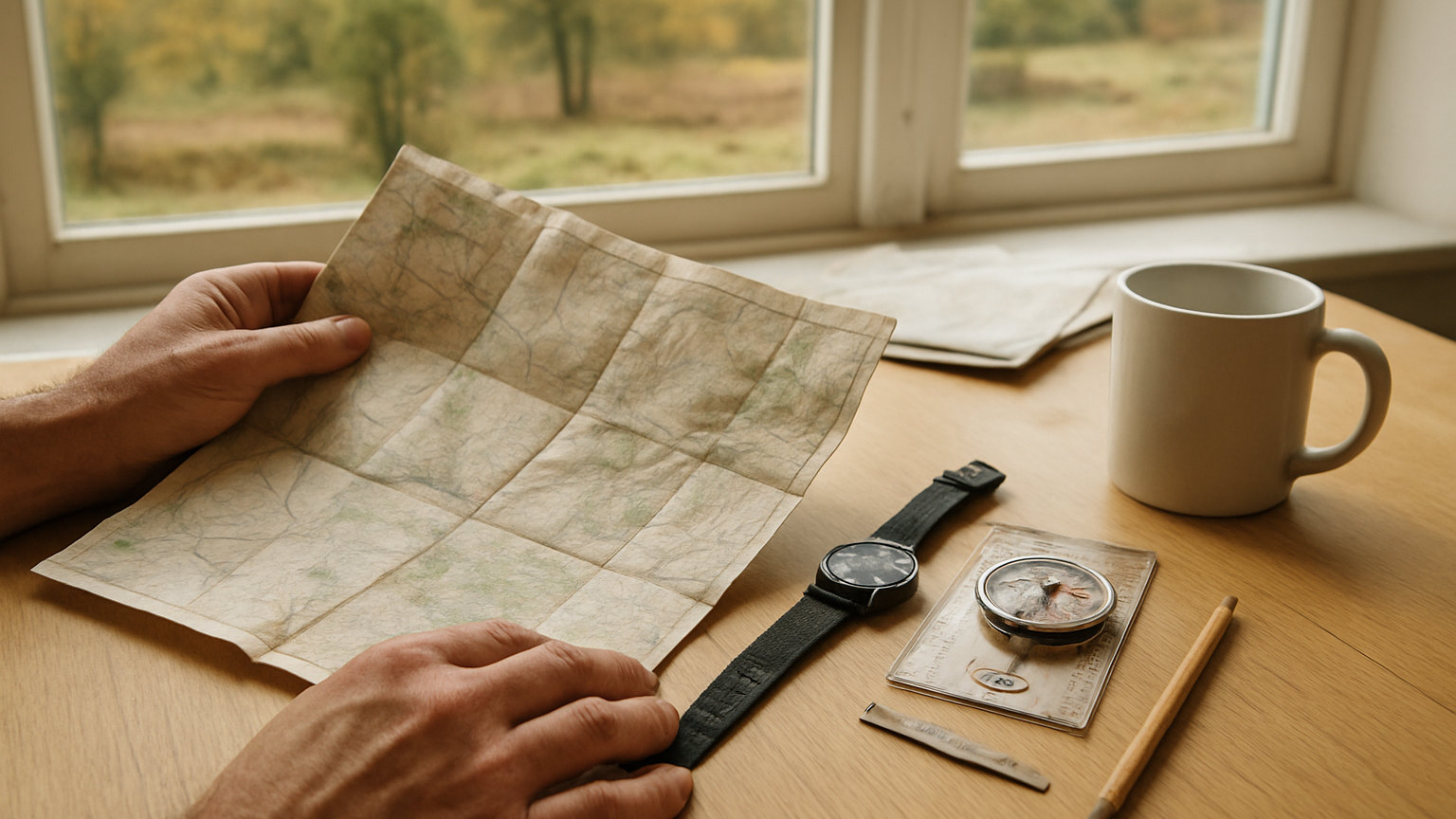
Most navigation problems are solved before anyone leaves the house. A route planned properly on paper is easier to follow, easier to abandon safely, and far easier for someone to search along if things go wrong.
How do you measure distance?
By counting grid squares for a rough figure, since each is one kilometre and the diagonal about one and a half. For accuracy, lay a piece of string or the edge of a map along the route and measure it against the scale bar, or use a mapping app which does it instantly. Remember that measured map distance ignores the extra length added by climbing, and that following an actual path adds more again through bends the map may not show.
How do you calculate ascent?
By counting contour lines crossed while going uphill and multiplying by the contour interval. Count only the climbing, and count every separate climb, because a route crossing three small rises accumulates ascent that a glance at the start and end heights completely misses. Total ascent matters far more than distance for how tiring a route will be, and it is the figure most often underestimated.
- Measure distance by grid squares or by string against the scale
- Count contours crossed uphill for total ascent
- Apply Naismith rule, then adjust for your group
- Identify escape routes at intervals along the way
- Note handrails, attack points and catching features
- Leave the plan with someone who will notice if you do not return
How do you estimate the time?
Start with Naismith rule: one hour per five kilometres plus one minute per ten metres of ascent. Then adjust honestly. Most groups manage four kilometres an hour rather than five, rough ground and poor visibility slow things further, and stops add up faster than anyone expects. Adding a third to the Naismith figure is a reasonable starting point for a mixed group, and comparing predicted against actual times on easy days calibrates it properly.
What are escape routes and why plan them?
Ways off the route to safety, identified in advance at intervals along it. Weather turns, someone gets injured, or progress is slower than planned, and at that point you want to already know that a track leaves the ridge at a particular col and reaches a road in three kilometres. Working this out on the hill in bad conditions is slow and error prone. Marking two or three escape options on the map before setting off costs ten minutes.
How do you break the route into legs?
By dividing it at obvious points such as path junctions, summits, cols, stream crossings and stiles. For each leg, note the bearing, the distance, the ascent and any features you expect to pass. Written onto a route card, this becomes a checklist you can work through, and it makes it immediately obvious when something has not appeared when it should have.
Who should know your plan?
Someone reliable who is not coming with you, along with a time by which you will be in touch and instructions to raise the alarm if you are not. This single step transforms the speed of any search, because rescuers can concentrate along a known route rather than across a mountainside. Include the route, the party size, vehicle registration and expected return, and remember to make the call when you get back.
What should you check before leaving?
The forecast, specifically wind speed and cloud base, since both determine whether a ridge route is sensible. Daylight hours against your estimated time, with a substantial margin. Any access restrictions, military firing times or seasonal closures. And whether the party is realistically capable of the plan, which is the question most often skipped and most often the one that matters.
An hour of planning buys a route you can follow, abandon or be found on, which is a considerably better return than an hour of walking.