Getting lost is a process rather than an event. It starts with a small doubt, and what happens in the next few minutes determines whether it becomes a serious problem.
When should you stop?
The moment you are not certain where you are. Not when it becomes obvious, not at the next landmark, and not after a bit more walking to see whether things make sense. Every account of a serious navigational failure contains a period of continuing despite doubt, and each minute of that expands the area you might be in.
Why do people keep going?
Because stopping means admitting an error, because the destination pulls, and because there is a persistent hope that the next feature will resolve it. In a group there is the added reluctance to be the one who raises it. Recognising that pattern is what allows you to override it, and saying it out loud is usually enough.
- Stop the moment certainty goes, not later
- Work out the last point you were certain of
- Check the map against what you can actually see
- Retrace your steps if the route back is safe and known
- Aim for a large linear feature you cannot miss
- Stay put and call for help if you cannot resolve it
How do you relocate yourself?
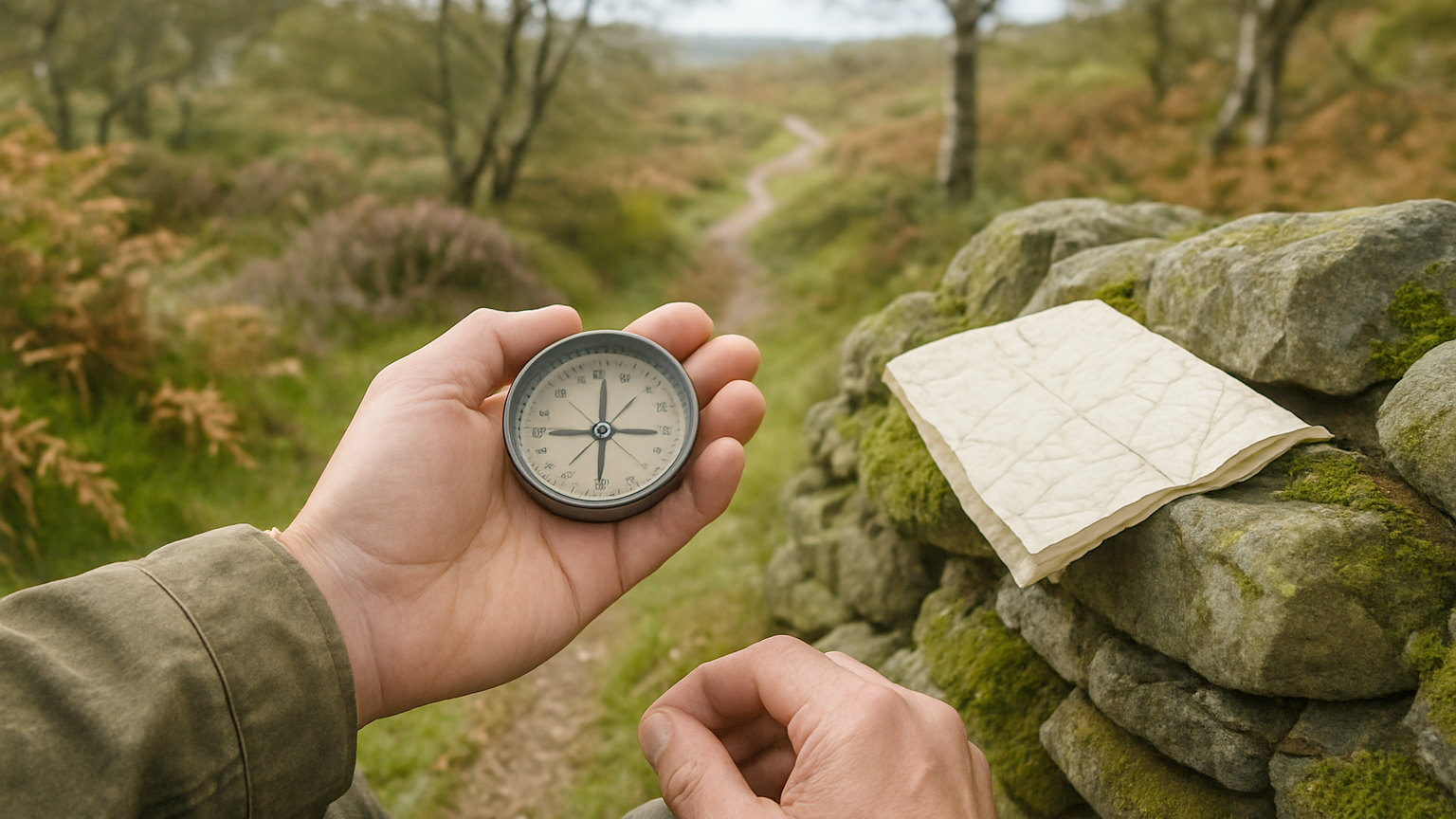
By working from what you know. Identify the last point you were certain of, estimate how long you have walked since and at what pace, and draw a circle of that radius on the map. Then compare what you can see with what is inside that circle: shape of the ground, watercourses, walls, forestry edges, slope direction and aspect. Match the terrain to the map rather than the other way round.
What if visibility is poor?
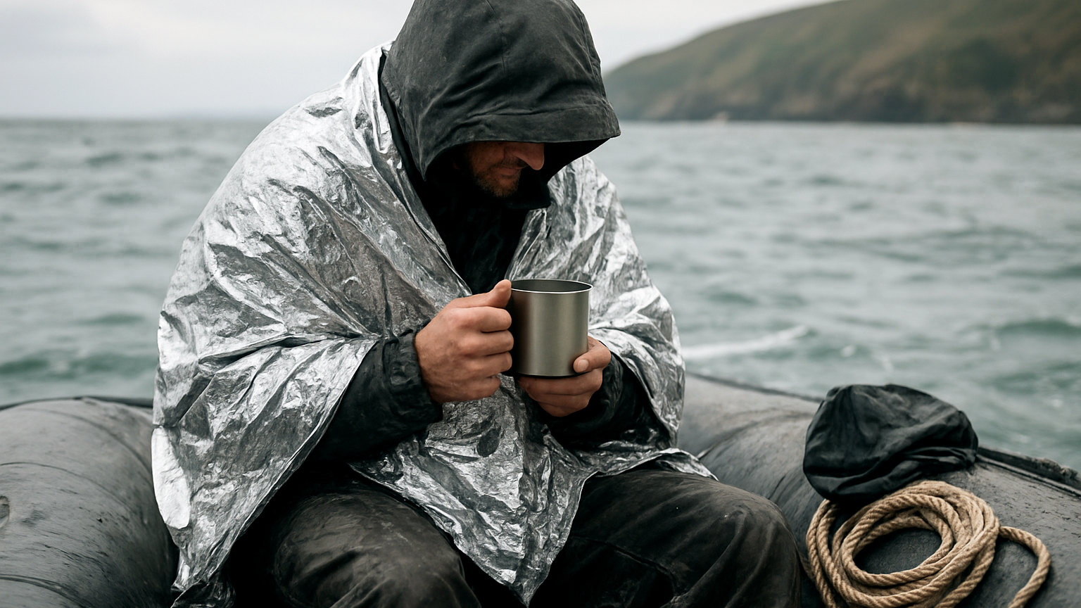
Rely on the ground rather than on landmarks. Slope direction, aspect measured with a compass, and the shape underfoot all work in cloud. Pace counting and timing become the primary tools. If you genuinely cannot establish a position, stopping and sheltering is far better than wandering, since movement in poor visibility on a plateau is how people end up cliffed out.
Should you retrace your steps?
If the route back is safe, known and within your remaining daylight and energy, yes, and it is frequently the cleanest solution. Return to the last certain point and start again. Do not attempt it in darkness over ground you found difficult, and do not attempt it if it means recrossing something hazardous.
What is aiming off?
Deliberately navigating to one side of a target so you know which way to turn when you hit a linear feature. Heading for a bridge on a stream, aim clearly upstream of it, so on reaching the stream you turn downstream with confidence rather than guessing. Large features such as walls, roads, rivers, forestry boundaries and ridges are almost impossible to miss and make excellent recovery targets.
When should you call for help?
Before it becomes serious, rather than after. If you cannot establish your position, darkness is approaching, conditions are deteriorating or anyone is struggling, call 999, ask for the police and then mountain rescue. Teams would far rather attend a walkable situation early than a serious one late, and being lost is a legitimate reason to call.
How do you prevent it?
By navigating continuously rather than occasionally. Knowing where you are at all times means never being more than a few hundred metres from certainty. Check the map at every feature, keep a rough sense of time and distance, and note the ground you are crossing. Most people navigate by landmark and are lost the moment landmarks disappear.
What about following a stream down?
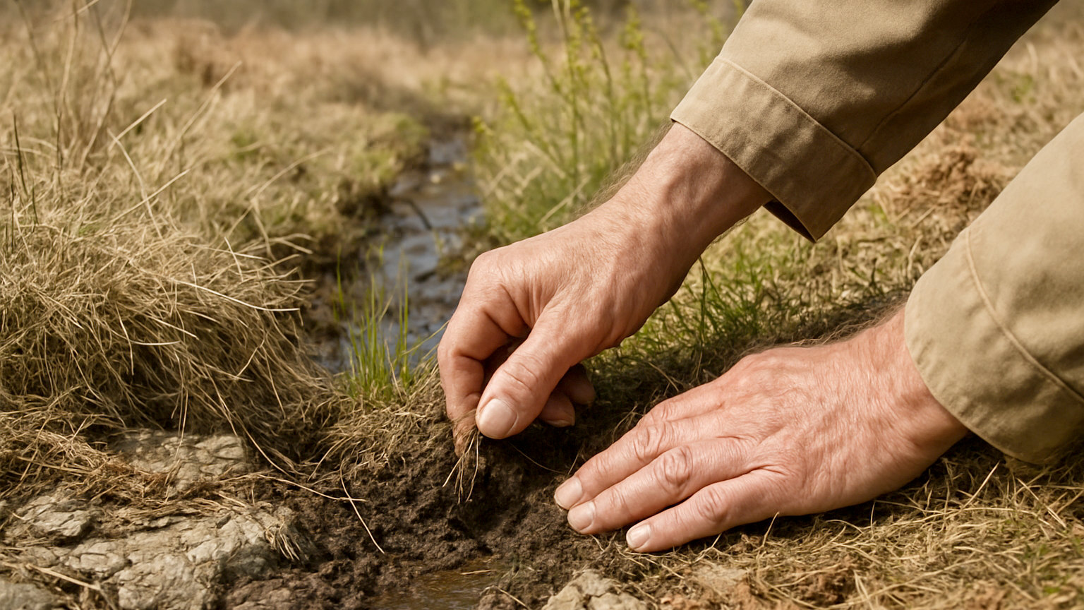
It is traditional advice and it is dangerous in British upland. Streams in hill country run into ravines, over waterfalls and through impassable gorges, and following one downhill has led people into ground they could not escape and could not be reached in. Use watercourses as features to identify your position, not as routes to descend.
Stop at the first doubt, work back to your last certain point, match the ground to the map, aim off for a big feature, and call for help before it worsens.