Marine forecasts describe wind and sea separately for good reason, because the same wind produces very different conditions depending on the tide, the fetch and the seabed.
What is wind over tide?
Wind blowing against the direction of a tidal stream, which produces short steep seas far worse than the wind alone would suggest. The waves become closer together and steeper, and a passage that would be comfortable with wind and tide together becomes uncomfortable or dangerous. It is the single most useful piece of local weather knowledge for small craft.
What is fetch?
The distance over which the wind has blown across open water. A strong wind blowing offshore from a nearby coast produces small waves close in and much larger ones further out. The same wind across a long open fetch produces a substantial sea. This is why sheltered water can be calm while conditions a few miles out are not.
- Wind against tide creates short steep dangerous seas
- Fetch determines how big waves become for a given wind
- Swell can arrive from distant weather with no local wind
- Overfalls and races form where tide runs over shallow ground
- The Beaufort scale describes wind and its visible effects
- Small craft feel conditions far more than large vessels
What is swell?
Wave energy travelling from distant weather, which arrives as long low waves with no local wind at all. Swell can make a harbour entrance or a beach landing dangerous on an apparently calm day, particularly where it shoals into shallow water and steepens. Forecasts give swell height and period separately from wind waves for this reason.
What are overfalls and races?
Areas of disturbed and dangerous water where a strong tidal stream runs over uneven or shallow seabed, or around a headland. They are marked on charts and they can be genuinely hazardous to small craft, producing steep breaking water in otherwise moderate conditions. Passage planning around British headlands is largely about timing to avoid them.
What is the Beaufort scale?
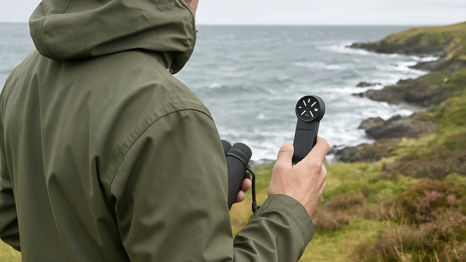
A scale relating wind force to observable effects on the sea and on land, running from calm at force zero to hurricane at force twelve. It is useful because it describes what you will see rather than a number: force four shows small waves with fairly frequent white horses, force six has large waves with extensive white foam crests and some spray.
How do you use a shipping forecast?
By finding your sea area and reading the wind, sea state, weather and visibility for it. The format is consistent, which makes it quick once familiar. Inshore waters forecasts give more local detail for coastal passages and are generally more useful for small craft than the offshore areas.
What should you watch for while out?
Changes rather than conditions. Wind increasing or backing, cloud building, visibility reducing, and sea state becoming steeper are all signs to reconsider. Forecasts are predictions and what is in front of you is fact. A deteriorating trend earlier than forecast is a reason to head for shelter rather than to press on.
What is different for a small boat?
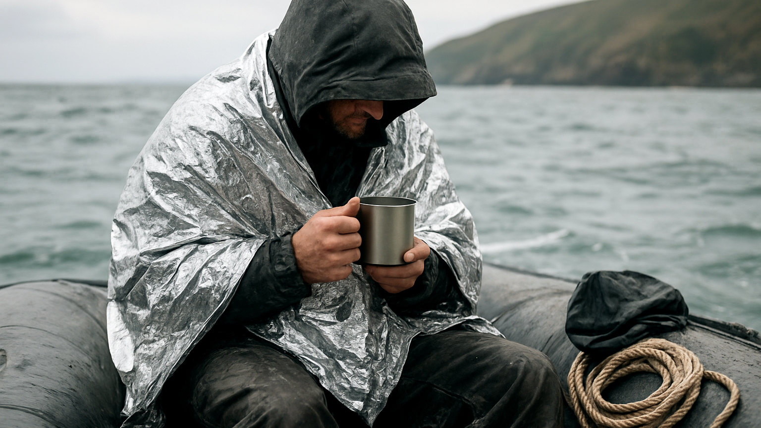
Everything is felt more. A sea that a large vessel barely notices makes a small craft uncomfortable and slow, wets everyone, causes seasickness and reduces the crew ability to function. Judge conditions against your boat and crew rather than against what other vessels are doing, and set a lower threshold than feels necessary.
What about fog?
It arrives faster than expected and it is genuinely dangerous for small craft. Visibility can drop within minutes, navigation becomes reliant on instruments, and collision risk rises sharply since you can neither see nor be easily seen. Carry a radar reflector, sound the appropriate signal, reduce speed, and consider anchoring in a safe spot rather than continuing blind.
Watch for wind over tide, understand fetch and swell, avoid overfalls by timing, use inshore forecasts, and judge conditions against your own boat.