Winter navigation is the skill that limits most British hill walkers, because the techniques that work in summer stop working entirely when the ground is white and featureless.
What changes?
Everything you normally use disappears. Paths, walls, fences, streams, small crags and boulders vanish under snow. Larger features become ambiguous. In whiteout, the horizon disappears and depth perception goes entirely, so you cannot judge slope angle, distance or whether the ground ahead drops away. Navigation shifts from recognition to measurement.
What are the core techniques?
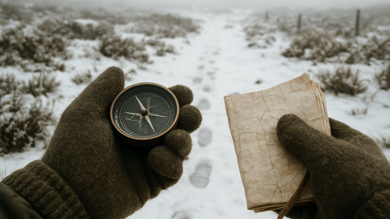
Bearings, pacing and timing, used together and checked against each other. Take an accurate bearing, walk it precisely, count paces to measure distance, and time the leg as a cross check. Break the route into short legs of a few hundred metres, each with a defined end point, and confirm each before starting the next.
- Break the route into short legs of a few hundred metres
- Take a bearing, walk it precisely and count paces
- Time each leg as a cross check on distance
- Use slope aspect measured with the compass to confirm position
- Aim off toward large features rather than at a point
- Stay well back from any edge, which may be corniced
How do you count paces?
By counting double paces, meaning every time one foot lands, and knowing your own figure for a hundred metres on flat ground. It varies with terrain, so learn a figure for flat, for uphill, for downhill and for deep snow, which slows you considerably. Use a set of beads or a knotted cord to track hundreds without losing count.
What is slope aspect?
The compass direction a slope faces, which you can measure by pointing the compass down the fall line, and which is one of the few reliable position checks available in whiteout. Comparing the measured aspect with the map narrows your possible position substantially, and it works when no feature is visible at all.
How do you keep a bearing straight?
By using someone else. Send a companion ahead to the limit of visibility, direct them onto the bearing with hand signals, walk to them, and repeat. Walking a bearing alone in whiteout produces a curve, because people drift consistently to one side. In a group this technique is far more accurate and it is standard practice.
What are the specific hazards?
Cornices and edges, above all. In whiteout you cannot see where a plateau ends, and the fracture line of a cornice is well back from the visible edge. Also buried streams and holes, unstable snow bridges and slopes that turn out to be steeper than they appear. Navigate deliberately away from edges rather than toward them.
What about GPS?
Excellent as a check and dangerous as a sole method. A grid reference confirms where you are, which is genuinely valuable in whiteout, and a device will not tell you that the direct line to your next point crosses a cornice or a crag. Use it to confirm position and use map and compass to choose the route. Batteries fail in cold.
How do you practise?
In poor visibility on ground you know, where a mistake is embarrassing rather than serious. Deliberately navigating in cloud on familiar hills builds the technique far faster than reading about it, and it reveals how much drift and error creeps in. This is what a winter navigation course provides in a compressed form.
What about following footprints?
Treat them as information rather than as a route. Tracks in snow tell you someone went that way and nothing about whether they knew where they were going or whether they came back. They also fill in quickly and can lead onto ground you would not choose. Navigate by your own map and compass and use tracks only to confirm what you already believe.
Work in short legs with bearings, pacing and timing, use slope aspect to confirm position, send someone ahead to hold the line, and stay well back from edges.