Walkers are both the main ignition source and the people most likely to be caught out, and the terrain that makes for good walking is exactly the terrain fire moves through fastest.
What should you check before going?
Whether access is restricted, which happens when the Fire Severity Index reaches high levels and countryside legislation allows closures of access land. Check the land manager, national park or estate website, look for notices at access points, and check for any active incident in the area. Fire services and land managers publicise restrictions during risk periods.
What should you plan?
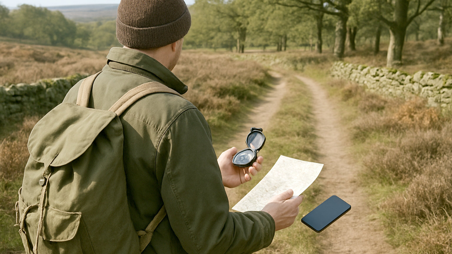
Escape routes, not just the walk. Know where the roads, tracks, large bare areas, reservoirs and rivers are, and roughly which way is downhill from each part of your route. Note the wind direction before setting off and be aware of it during the day. This takes a couple of minutes with the map and is the preparation that matters most.
- Check for access restrictions before setting off
- Note the wind direction and watch for changes
- Identify roads, tracks and bare ground as escape routes
- Carry a means of giving a precise grid reference
- Take no fire, no stove and no disposable barbecue
- Turn back if you see or smell smoke
What terrain is most dangerous?
Gullies, steep narrow valleys, saddles and anywhere with continuous dry vegetation above you. Fire accelerates uphill and channels through gullies, so a walker in a gully with fire below is in the worst possible position. Ridges and open ground with a view are safer, and burnt ground, bare rock and water are safest.
What should you carry?
The usual hill kit plus a means of giving a precise location. A grid reference app such as OS Locate, which works from GPS without a signal, or what3words, both of which UK emergency services accept. A charged phone and a power bank. Water, since smoke and exertion dehydrate quickly. Long sleeves and natural fibres rather than synthetics.
What should you not carry?
Anything that lights. During high risk periods, leave the stove at home and take cold food. Disposable barbecues have no place on open land at any time. Smokers should take a portable ashtray and be aware that in some conditions the sensible course is simply not to smoke until back on hard ground.
What do you do if you smell smoke?
Stop, work out where it is coming from and move away, downhill and across the wind. Do not continue toward it out of curiosity or because it is on your route. Call 999 and report it with a grid reference, since walkers are frequently the first to see a fire and early reporting makes a substantial difference to how large it gets.
Does this apply to dog walkers?
Very much, and dogs add a complication. Keep dogs on a lead near open moorland during risk periods, both because loose dogs are difficult to recall when frightened by smoke and because ground nesting birds are breeding in the same season. If you need to move quickly, a dog on a lead is an asset and a loose one is a serious problem.
What about camping?
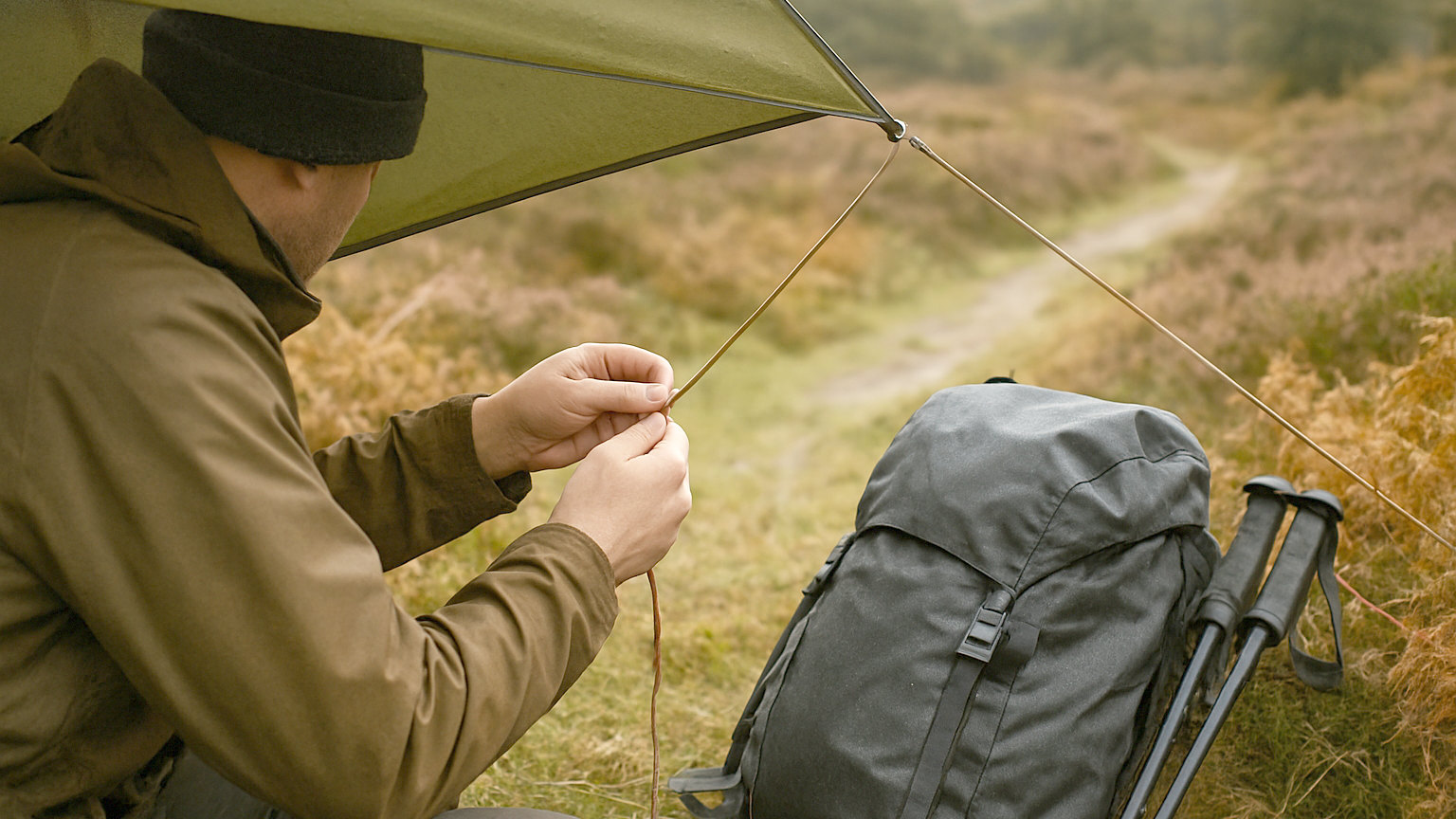
No fires, stoves used with great care on bare ground, and an awareness of where you would go. Wild camping during a high fire severity period is questionable in itself, since your presence is the risk factor. Follow the local access code, and in Scotland note that the outdoor access code specifically discourages fires and recommends stoves.
What should you tell someone before you go?
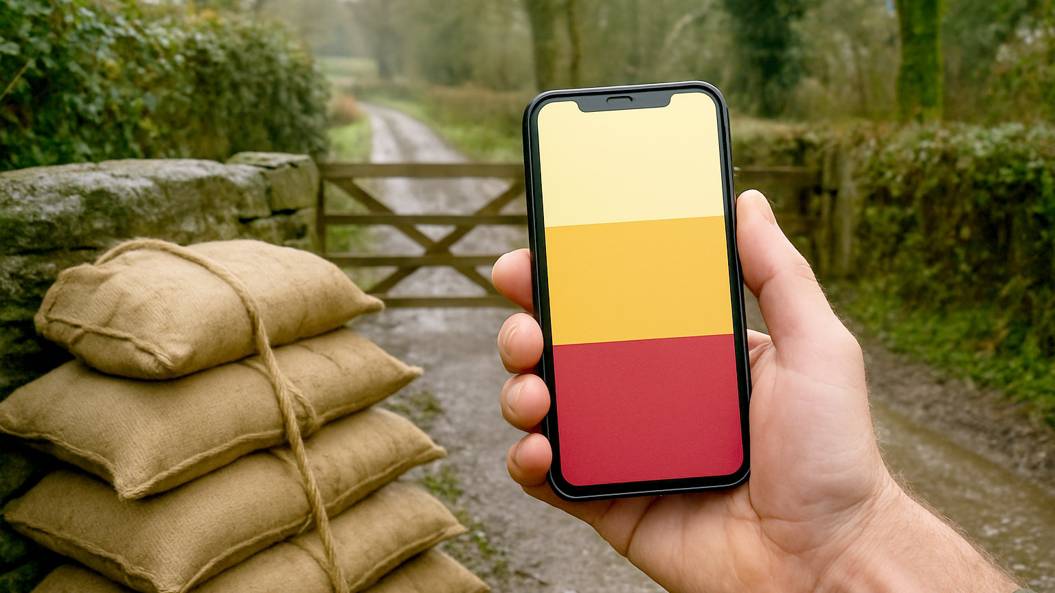
Your route and expected return time, as always, and it matters more during fire risk periods. If an area is closed or evacuated while you are out, someone knowing roughly where you are is what starts a search rather than an assumption you are fine. Check your phone occasionally for alerts, since the UK Emergency Alerts system will reach handsets in an affected area for a serious incident.
Check for closures, note the wind, identify escape routes and bare ground, carry a grid reference app, take nothing that lights, and report smoke immediately.