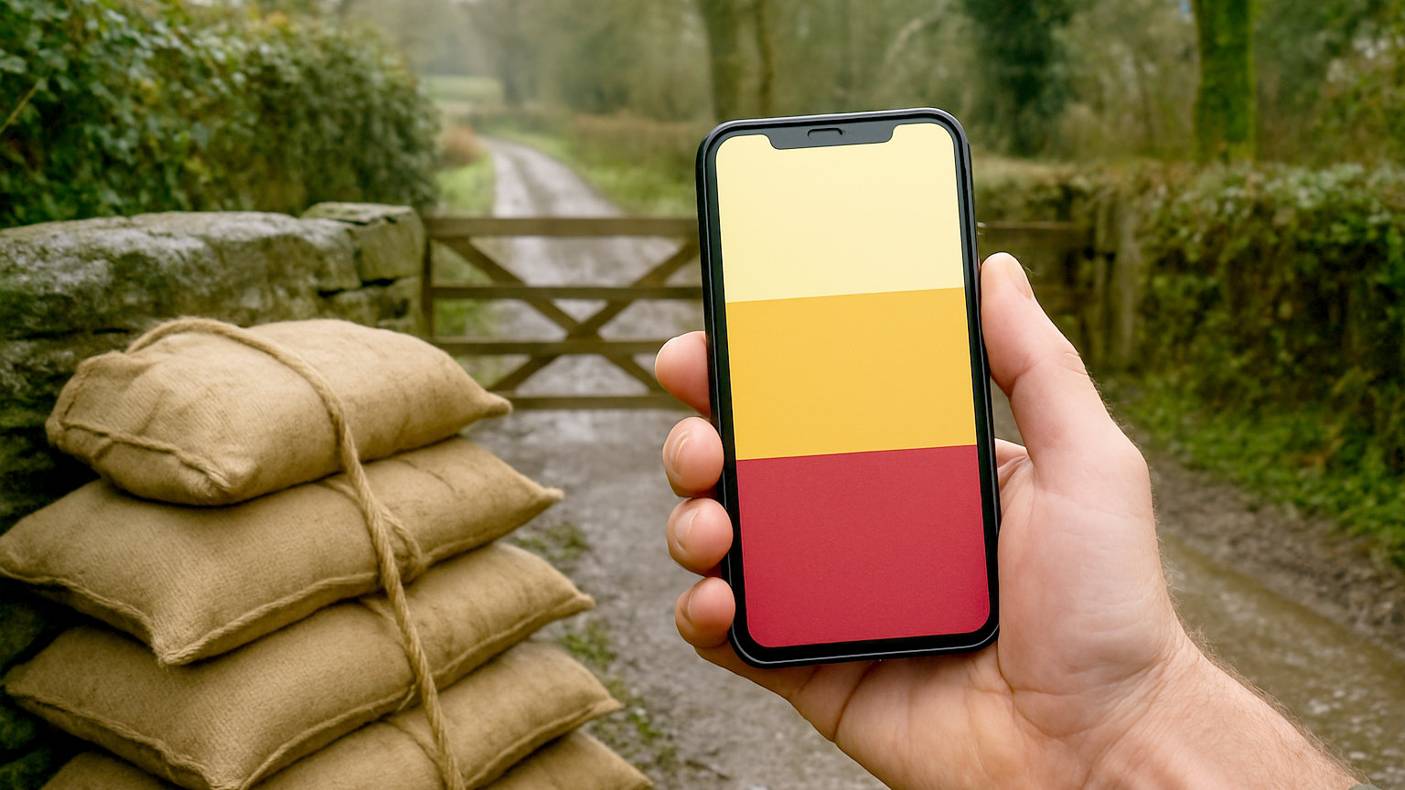
A great many households assume they are safe because they are not near a river. Flooding comes from four sources, and the most widespread one affects properties nowhere near open water.
What are the four types?
Flooding from rivers, from the sea, from surface water, and from groundwater. River and coastal flooding are what people picture and are well mapped and warned. Surface water flooding happens when intense rainfall overwhelms drains and runs across the ground, and it can affect almost anywhere. Groundwater flooding occurs where the water table rises, typically in chalk areas after prolonged wet weather.
Why is surface water the surprise?
Because it does not respect geography. It happens where rain falls faster than drains can carry it away, which depends on drainage capacity, ground surface and local topography rather than proximity to a river. Properties at the bottom of a slope, near a road that channels water, or in an area with limited drainage can flood repeatedly without any watercourse nearby. It is also the type least covered by warnings.
- Check the official flood risk map for your postcode
- Check rivers and sea, surface water and reservoirs separately
- Ask neighbours what has happened historically
- Look at the ground: does water pool near the property
- Check whether the property is below road level
- Ask the local authority about known drainage problems
Where do you check?
The government flood risk service, which gives a postcode level assessment for flooding from rivers and the sea, from surface water, and from reservoirs. Scotland and Northern Ireland have equivalent services through their own agencies. It takes a couple of minutes and gives a clear indication of which types are relevant to your address.
What do the maps not show?
Local detail and history. A map showing low risk for an area does not account for a blocked culvert two hundred metres away, a driveway that channels water toward your door, or the fact that the property sits half a metre below the road. Neighbours who have lived there for years frequently know more about what actually happens than any map does.
How do you find the history?
Ask, and check the record. Neighbours, the local authority and the parish council frequently know about past flooding. Local newspapers hold records of previous events. When buying a property, the standard searches include flood risk information and the seller must disclose known flooding on the property information form, though the detail varies. Photographs of past events sometimes exist online.
What physical signs are worth looking for?
Watermarks on walls, gates and fences. Silt lines in outbuildings. Air bricks that have been raised or blocked. Flood doors or barriers already fitted, which indicate someone thought it necessary. Ground that stays waterlogged. Drains and gullies that are undersized or blocked. A property at the low point of a road or a field.
Does risk change over time?
Yes, and generally upward. Development upstream increases hard surfacing and runoff, drainage systems age, and rainfall patterns are changing. A property that has never flooded may do so, and areas that flooded once are more likely to again. Checking the risk assessment periodically rather than once at purchase is sensible, particularly if there has been building nearby.
What should you do if the risk is real?
Register for warnings, make a flood plan, consider property level protection, and check your insurance covers flooding. None of that is expensive and all of it is far easier before an event than during one. Households in known risk areas that have prepared consistently fare better than those that have not.
Does insurance tell you anything?
A great deal, and it is a useful cross check. Insurers price flood risk carefully using their own data, so a high premium, a large flood specific excess or difficulty obtaining cover at all is a strong signal about the property regardless of what a map suggests. If a quote singles out flood as a separate excess or exclusion, that is worth investigating rather than simply accepting.
Check the maps for all four types, ask neighbours about history, look for watermarks and low ground, and recheck after nearby development.